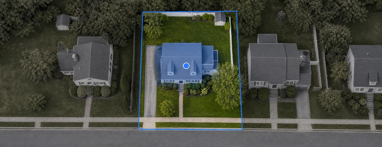
Property Location
Satellite imagery with the parcel boundary from the NJ ArcGIS Cadastral service. Dimensions are approximate; parcel lines are tax-map quality and can sit offset from imagery in some towns.
NJ construction permit lookup — open and closed permits, permit history, then the rest of the public file: OPRA (New Jersey’s public-records law), flood, radon, fire, taxes. Pulled from state and county sources. Free. No account.
Every report links straight into three ways to actually see what you're buying — no separate tabs, no hunting.
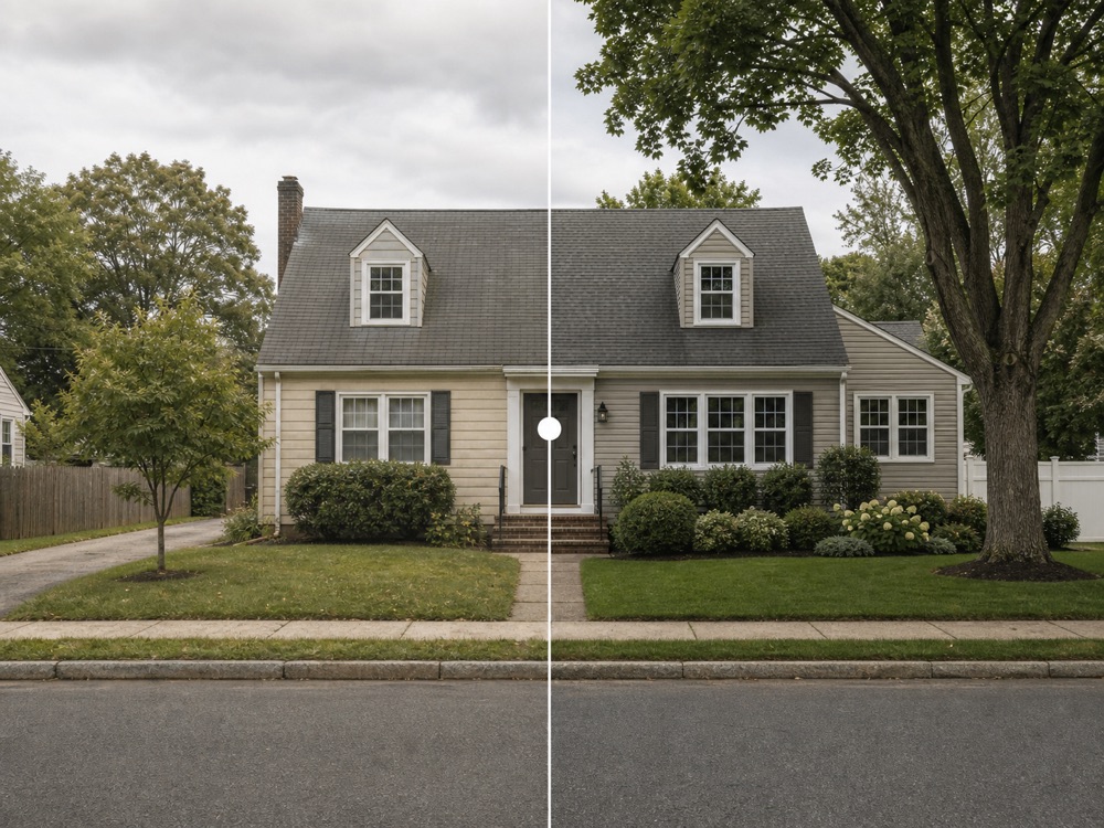
Scrub through years of Google Street View to watch additions go up, tanks come out, and a property change hands.
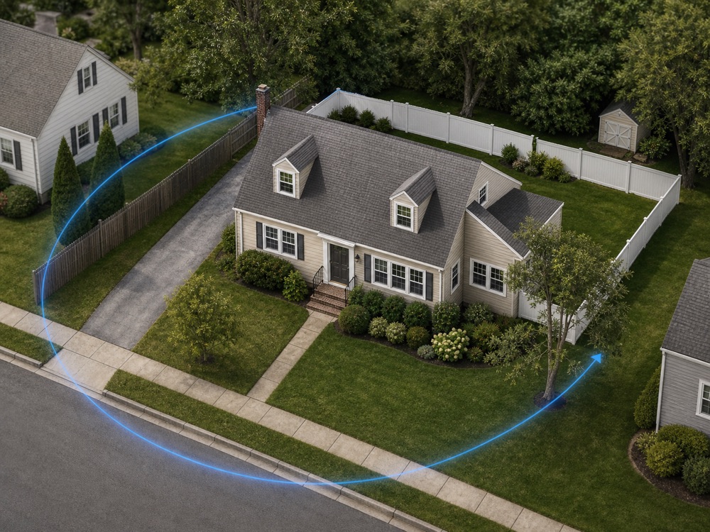
Orbit the structure and lot in true 3D — read roof lines, setbacks and grade before you ever visit.
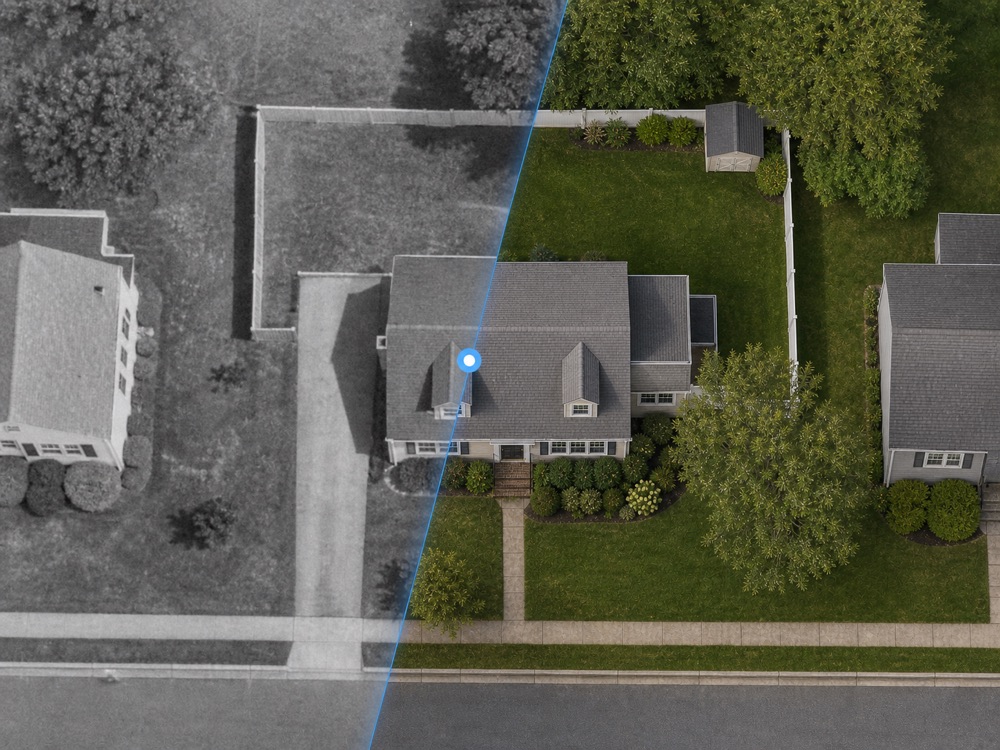
Fade between today's imagery and decades of aerials to date additions, pools and outbuildings.
Every search returns a full report — grouped so the facts, the paper trail, and the red flags each read on their own.
Two tools make a long report feel short — the risk is up top, and the section you want is always one tap away.
The moment a search lands, colored chips summarize every real signal — flood, radon, open permits, era checks. No signal, no chip; nothing is invented. Tap any chip to jump to the detail.
A slim dock rides the bottom of the report as you scroll — current section highlighted, progress shown, every section one tap away in the Report index. You never lose your place in thirty cards.
Your photo, logo and contact on every report and share card — QR links, Street View share images and lead capture built in. Free to start.
I'm a home inspector in New Jersey. Every inspection means digging through multiple sites — state databases, permit portals, OPRA forms, county records — just to answer one question: what's been done to this property?
I built Permit & Parcel to put it all in one place. Search an address, get the block & lot, pull permits, check flood and radon, see it in 3D and through time, and find the right OPRA contact — no runaround. It's free. No account needed.
— Leo Betancor, CMI®, Smart Choice Inspections
Search a second NJ address. We’ll open a side-by-side scorecard.